Compare grade plans
Identify the existing and proposed survey sources and use consistent horizontal limits and vertical datum. Resolve unexplained elevation shifts before comparing surface quantities.
Grading and subgrade takeoffs
Prepare grading quantities from existing and proposed information with clear limits for stripping, excavation and finish grading.
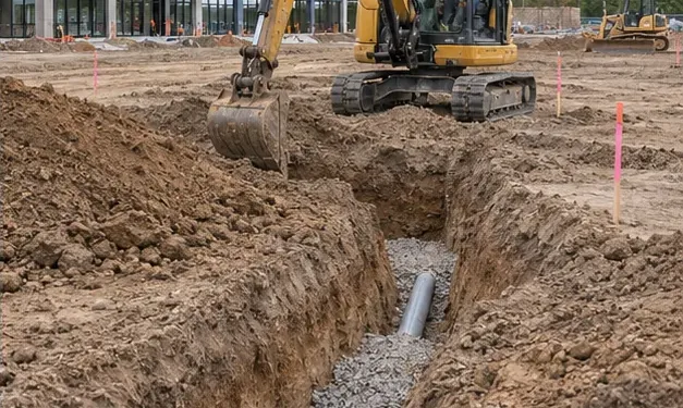
Identify the existing and proposed survey sources and use consistent horizontal limits and vertical datum. Resolve unexplained elevation shifts before comparing surface quantities.
Separate subgrade below pavement, fine grading at landscaped areas and structural pads. Each zone has a different finished section and may have its own tolerance or handwork allowance.
Check swales, slope transitions and grading along adjoining property. Confirm whether temporary access, erosion-control preparation and restoration are included or measured under separate packages.
Send digital surfaces or grading sheets, pavement sections, spot elevations and phase limits.
Yes when the phase boundary and corresponding design surface are defined. Clearly identify earthwork shared by multiple phases.
Request an Estimate View Estimating Samples
Use the grading plan to distinguish limits of disturbance, finish grades and areas requiring fine grading. Compare those areas against paving, landscaping and structural subgrades. Note the drawing datum and the surface file revision used for the measurement.
Tell us what you need priced, which drawings govern the bid and when it is due.